
Bothell West Neighbor Record Sources
A public block view describes land, filings, and selected public registrations. It does not list every household member. Bothell West neighbors may appear through ownership labels or a lawful voter-data request, but each source proves only what its fields state.
| Source | What It Shows About a Block | Access |
|---|---|---|
| SCOPI parcel viewer | Parcel edges, property address, owner, taxpayer, and tax area | Free online map |
| Assessor Property Information | One parcel's account, legal description, tax and sale context | Free address or parcel search |
| Washington voter records | Allowed registration and political-jurisdiction fields | Secretary of State request; exceptions apply |
| PDS public records | Address-specific permits, plats, land use, and active code cases | Online, Records Room, or PRA request |
| Community organizations | Published contacts, documents, events, and local history | Public pages; no member roster found |
SCOPI and the Assessor identify owners or taxpayers, not occupants. A mailing address may be an owner's contact address somewhere else. PDS records concern the site and project, while voter data covers registered voters only. Combine sources only to answer a clear, lawful question.
Select Bothell West Neighbor Parcels
SCOPI documents Parcel ID Search, Address Search, Select Parcels, and a Neighborhood Search Tool. Enter the street address and optional city, choose the matching parcel card, then inspect only the lots that touch or directly surround it. Note the map date and chosen scope.
- Parcel
- A mapped unit of land identified by the county.
- Situs address
- The physical property address, which can differ from a mailing address.
- Tax code area
- A taxing-jurisdiction label, not a neighborhood boundary.
- Buffer
- A researcher-chosen distance around a point, not an official definition of the block.
Some map cards say Multiple Parcels, Shared Interest Parcels, or Not a Legal Tax Parcel. Open the associated parcels and legal descriptions before attaching an owner name to the selected shape.
The official viewer captured for this project shows the map interface used to move from one property to nearby lots:
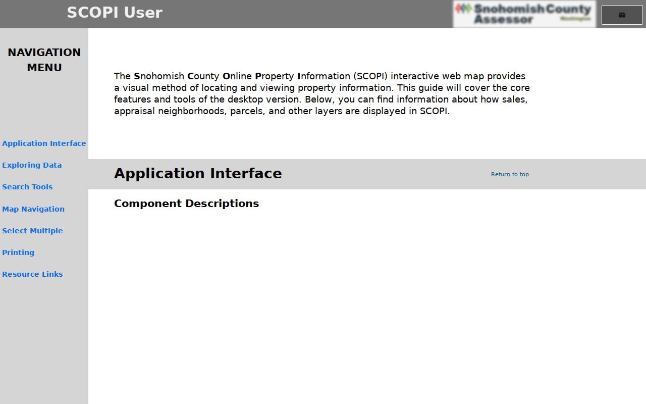
The parcel outlines and result panel keep a neighbor search tied to county geography instead of an informal place name.
Map Bothell West Neighbors Outward
Use one repeatable flow: address to parcel, parcel to adjacent lots, and each lot to its official account. This answers an immediate-block question without rebuilding a full named-street search.
- Find the exact address in SCOPI and save its parcel ID and property-address label.
- Select each touching or directly surrounding parcel. Record boundaries, IDs, and owner or taxpayer labels separately.
- Open the Property Account Summary for tax, legal-description, and sales context. Never turn a matching mailing address into proof of occupancy.
- Use the Auditor or PDS only when a recorded instrument, plat, permit, or code file answers the question.
A search that expands beyond nearby lots belongs in the Bothell West street directory, which follows the full address-keyed chain. Keep a block search limited to its stated radius.
Owners Are Not Always Neighbors
The Assessor's owner, taxpayer, mailing-address, and property-address fields have distinct meanings. An owner can receive tax mail away from the property. A shared-interest parcel may be a common tract, and a non-tax parcel may not represent a conventional home. These distinctions prevent a map label from becoming an unsupported claim about who lives nearby.
| Official source | Public strength | Limit |
|---|---|---|
| County parcel roll | Direct land and ownership context | Does not establish every occupant |
| Voter data | Registration address and jurisdiction under law | Not every resident registers; protected rows may differ |
| Commercial neighbor tool | May combine broad public and commercial data | Source date, accuracy, and identity matching may be unclear |
Prefer the official roll because it names the custodian and field. If occupancy matters for family or civic research, seek voluntary contact or another relevant official record rather than treating a compiled profile as fact.
Note: Property ownership is strong evidence about a parcel, but weak evidence about every person who calls it home.
Bothell West Community Contacts
Community organizations add history and a public contact path, not a resident roster. Bothell engagement material names Friends of North Creek and Shelton View, among other civic and faith groups. Foxwood Meadows publishes documents, processes, announcements, and public information near North Creek Park and Canyon Park, but no public membership directory was located.
Foxwood Meadows HOA
Public HOA website
Best for published documents, announcements, and neighborhood context. Private member data stays private.
City Engagement List
Community organization inventory
Names civic, cultural, faith, and environmental contacts serving the wider Bothell area.
Bothell Library
KCLS Bothell branch
Offers newspaper microfilm, scanners, and in-library genealogy tools for dated local context.
Ask groups about public events, archived newsletters, or local history. Do not ask volunteers for private member or household lists. For Bothell West neighbors, a published organizational contact is the correct endpoint.
Bothell West Voter Block Limits
Washington law makes selected voter fields public, including name, address, political jurisdiction, gender, birth year, voting record, registration date, and registration number, subject to exceptions. It protects full birth dates and government identification data. A public voter row represents registration, not every person on the block.
The April 21, 2026 Snohomish County voter-data form directs data requests to Washington Secretary of State Public Records. County Elections remains useful for administration and maps, and VoteWA serves a person's own registration. Do not treat its sign-in controls as a public neighbor directory.
Match any released address to the parcel rather than a ZIP or mailing-city label. An Address Confidentiality Program participant may have a substitute address or no physical address in the public view.
Bothell West Block Boundaries
Bothell West is a Census-designated place, while Bothell is an incorporated city that spans King and Snohomish counties. A Bothell postal label can describe either setting without deciding the custodian. Postal ZIP, parcel tax code, precinct, HOA, and CDP borders also answer different questions.
Use the parcel ID and legal description to settle county property geography. Use the political-jurisdiction field for election geography and a group's own documents for its service area. This separation matters around North Creek, Canyon Park, Thrasher's Corner, and nearby annexation edges.
For address-specific permits or land-use records in unincorporated Snohomish County, search PDS Public Records. Since not every file is digitized, the Records Room and Washington Public Records Act request remain available.
Historical Bothell West Neighbors
Current parcel cards cannot reconstruct an old block. Bothell Library newspaper microfilm spans local titles from 1908 through 2010 with gaps, and KCLS staff can help locate obituaries and directory material. Washington State Library holds a Bothell run within Seattle Suburban South directories for selected years in the 1970s and 1980s.
Use a dated directory or newspaper only as a historical clue. Pair the address with a parcel, deed, census, or dated event before identifying a past household. For recent neighbors, published group notices can describe civic activity but do not prove who lived at each door.
Reach Bothell West Record Keepers
Online access covers SCOPI, the Assessor, PDS, recorded documents, and VoteWA's self-service tools. When the screen fails, use the source's other channels. The Assessor and GIS teams can explain parcel fields. PDS offers its Records Room or a tailored records request for files not online.
The Auditor provides document searches and certified copies, with counter terminals and microfilm for older records. County Elections handles election administration and maps, while statewide voter-data requests now go to the Secretary of State. Libraries and archives cover print, microfilm, and historical collections. Ask about coverage before making a trip or paying a fee.
Protect Bothell West Neighbors
Parcel records do not grant permission to watch or repeatedly contact someone. No public utility, delivery, or complete household list was identified. Sealed court records, protected voter fields, and confidential vital data remain outside ordinary access. Washington's Address Confidentiality Program can replace an eligible survivor's actual address in government records.
Lawful use. Research Bothell West neighbors only for lawful personal, family-history, property, or civic purposes. Never use a record to stalk, harass, track, threaten, or expose a person.
Respect a substitute address, redaction, or missing row. Washington law addresses repeated harassment, following, unwanted contact, and tracking that causes fear or distress. If a record is inaccurate, ask its custodian about correction rather than broadcasting the error.